Beth Tellman · Assistant Professor
Geography, Remote Sensing & Human-Environment Systems
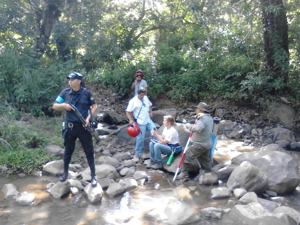
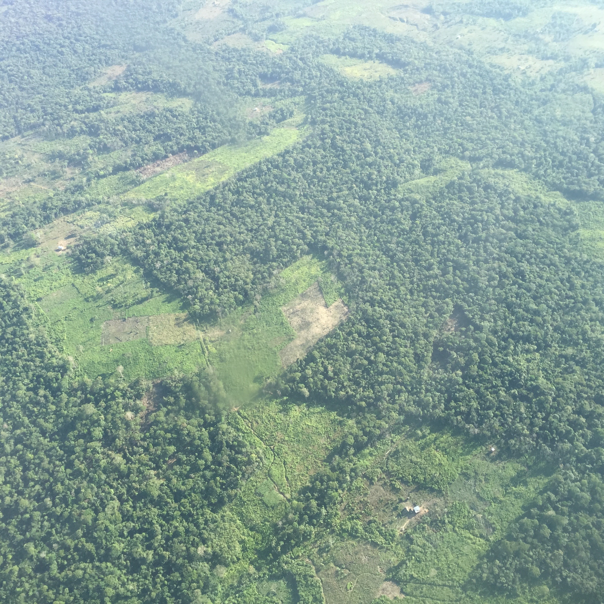
I direct the Social[Pixel] Lab, which uses deep learning, satellite imagery, and social science to study the causes and consequences of global environmental change. My research advances three areas: flood exposure and adaptation, machine learning for Earth observation, and land system science. We partner with communities, NGOs, insurers, and policymakers to translate data into real-world impact.
Research Areas
Leveraging satellite data to estimate global flood exposure, monitor floods near-real-time, and enable adaptation mechanisms such as parametric insurance. The Global Flood Database—cover of Nature (2021), cited in IPCC AR6—revealed populations are moving into flood zones 8–10× faster than previously estimated. A new NSF EAGER award will expand the database to 10,000+ events at 30-m resolution.
Leading development of deep learning architectures and benchmark datasets for satellite-based flood detection. Sen1Floods11 is now widely used for flood detection benchmarking. Ongoing NASA collaboration is building the world's first daily AI-based global flood mapping system at 375-m resolution using VIIRS imagery, achieving an estimated 141% accuracy improvement over the current operational system.
Applying spatial data science and institutional analysis to uncover societal drivers of urbanization and deforestation—from narcotrafficking and forest loss in Central America to electoral politics shaping informal urban expansion in Mexico City (PNAS, 2026). Research on rainwater harvesting contributed to city-wide policy implemented by Mexico's President Claudia Sheinbaum.
Research Highlights & Impact
913 flood maps at 250-m resolution; cited in IPCC AR6 Impacts report. Revealed that flood-exposed populations are growing 8–10× faster than flood models assumed. Covered by CNN, BBC, and Washington Post. New NSF EAGER award will scale to 10,000+ events at 30-m resolution.
Co-founded FLUJOS (Flood Justice Utilizing Satellite Observation) with organizations in the Rio Grande Valley, Texas, integrating lived experience and satellite data to build flood resilience in colonia communities facing repeated disaster and insurance exclusion.
Co-founder and Chief Science Officer of Floodbase. Novel satellite-based parametric methods enable new insurance programs for Colombian farmers and 25,000+ Italian Catholic churches. Addresses the >80% global flood protection gap.
Research recommending 100,000 rooftop rainwater systems was presented to then-mayoral candidate Claudia Sheinbaum. After winning election, she implemented the program—now scaled city-wide. Co-founded Umbela, an NGO advancing Global South-led environmental solutions.
Lab News
Fieldwork
Rio Grande Valley TX · Bangladesh · El Salvador · Mexico City · Nicaragua · Guatemala